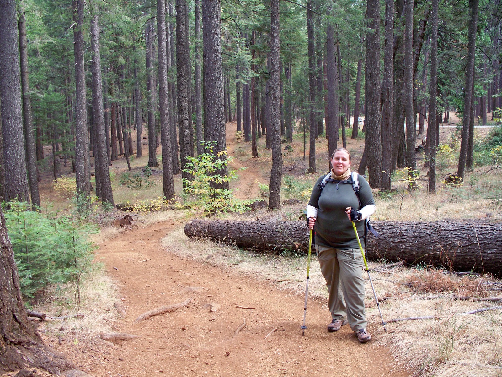
Preparations for my upcoming hike of the Appalachian Trail continue. Each day presents a list of to-do items to take care of and then the reward is getting out there and hiking. Nothing gets you ready for a backpacking trip like loading up a pack and going on training hikes. I also spend time in the gym with weights and some added cardio. I have been following a pretty specific plan to prepare for this trip because I am recovering from knee injuries and wish to prevent them in the future. It has required a very slow and steady increase of weight, distance and intensity. I try very hard to mix it up everyday so my body doesn't get used to the work out. As of this week I am now carrying a 25 lb backpack and hiking 3-10 miles.
I have received a lot of questions about trails I hike on so I thought I would post a bit about the main trails I hike for training. There are many others in the Grass Valley/ Nevada City area. One great place to start out is on one of the many Bear Yuba Land Trust trails. You can find information here
http://www.bylt.org/index.php/trails/trails-page-1/
Empire Mine State Historic Park is one of my favorite training grounds. The beautiful park offers a great diversity of trails, 14 miles in all. It is easy to put together whatever type of hike you need. Osborne Hill provides some elevation as well as some practice hiking up and down slippery rocks in one section. Download a trail map prior to hiking there.
http://test-empiremine.org/trails
Hidden Falls Park in Auburn, CA has a maze of trails with some ups and downs and a nice views and a waterfall bonus when the water is flowing well. Download a map from their website prior to hiking there. I is easy to make a loop of whatever your distance goal of the day is. This is a great option when there is too much snow and ice on other trails.
http://www.placer.ca.gov/departments/facility/parks/parks-content/parks/hidden-falls
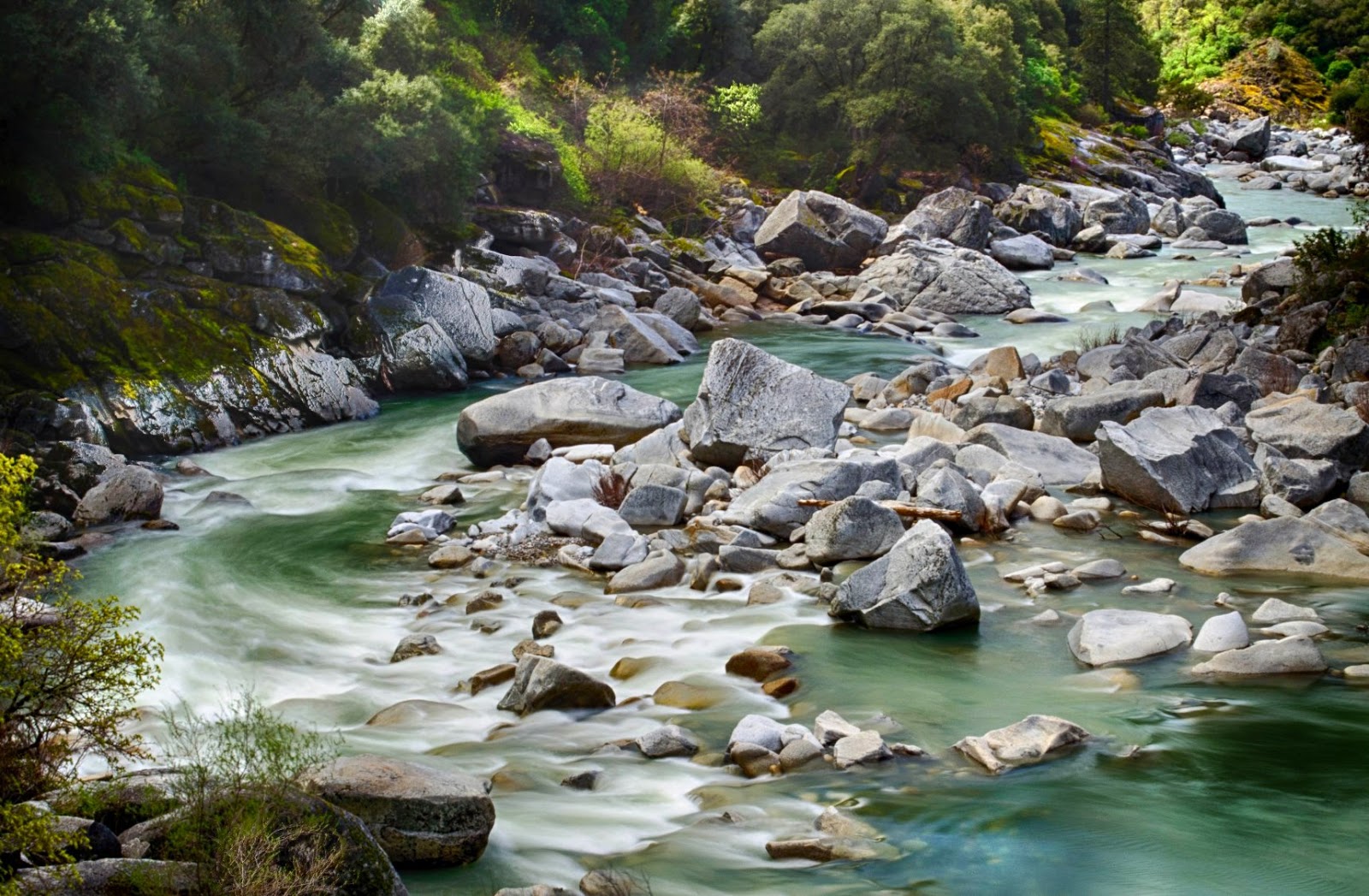
Trails along the South Yuba River State Park offer gorgeous views and often the sense of instant isolation. There are many options in this park including the Independence Trail which has a section that is accessible by wheelchair. This is a heavily infested tick area with known cases of Lyme disease so prepare for ticks and check yourself well prior to getting back in your car. Despite wearing permethrin treated clothing, staying on the trail and using DEET, I have never hiked here and not found ticks on me afterward.
http://www.southyubariverstatepark.org/Web%20Pages/trails.html
Pioneer Trail is about 25 miles long and parallels highway 20 above Nevada City. It is a great place to push distance limits. It is very popular with mountain bikers so it is not the place to have both headphones in listening to music, keep and ear and eye out to avoid collisions with fast moving bikes. At times this trail is above the snowline and not easily accessible. Summer months it offers a cooler place to hike without traveling far.
http://www.americantrails.org/nationalrecreationtrails/trailNRT/Pioneer-USDA03.html
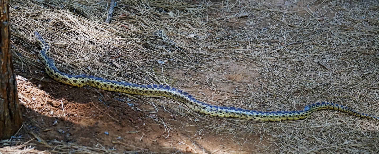
One of the gems of Grass Valley is the easily accessible Litton Trail. There are many other side trails that can be linked up to make a 5 mile loop through the woods right here in town. Despite being right in town be aware that many critters frequent the area. Mountain lions, coyotes, foxes, and snakes have all been sighted here in the last year.
http://www.bylt.org/index.php/trails/trails-page-1/litton-trail/